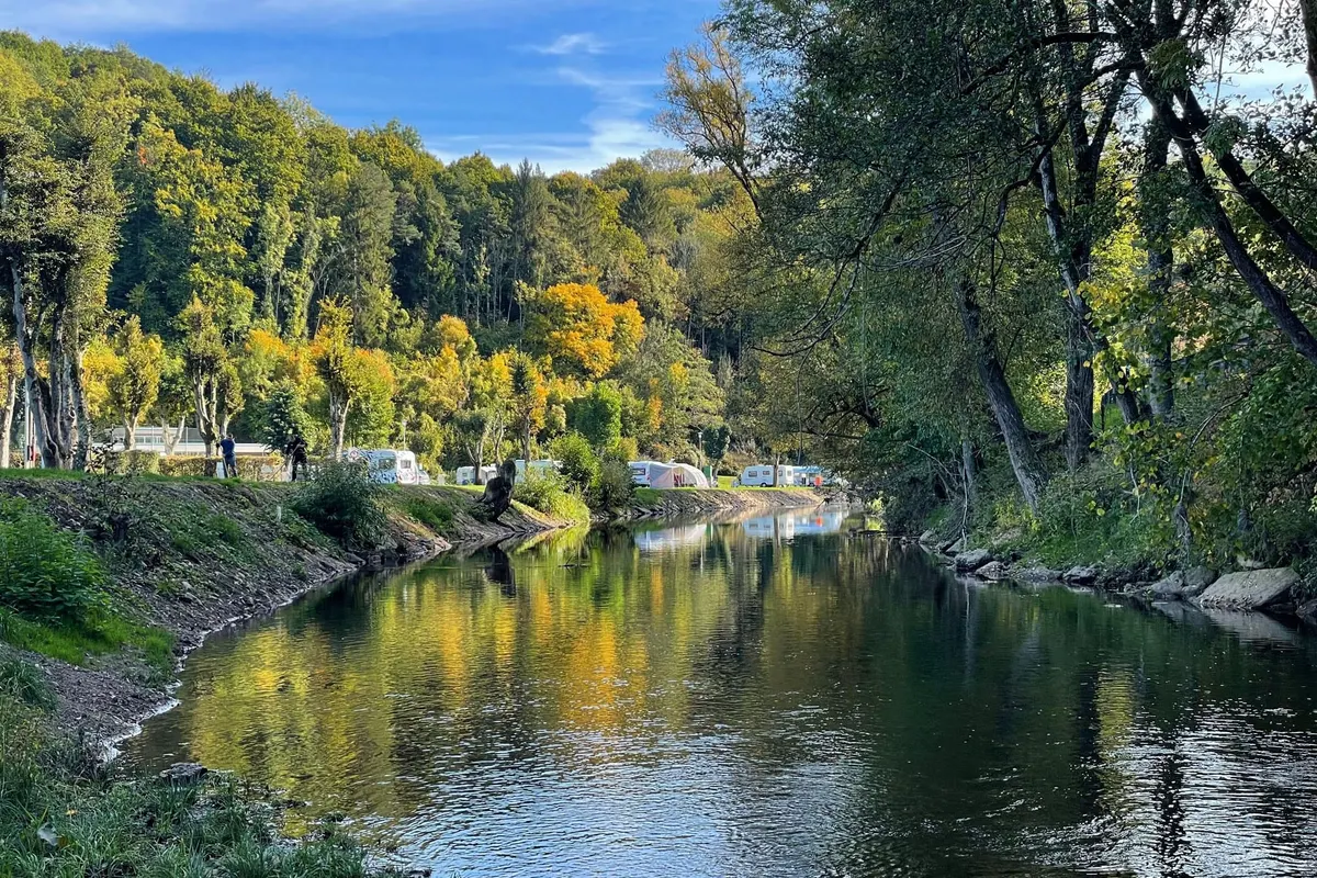
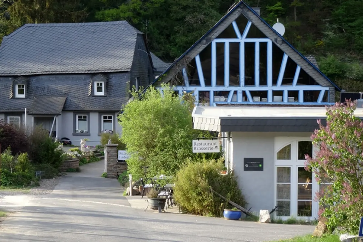
Campingplatz Rupbachtal
You'll find Campingplatz Rupbachtal in the Rijnland-Palts region of Germany. You're welcome here with a tent and a caravan.
About Campingplatz Rupbachtal
GEOAmong the nearby attractions is Bad Camberg.
Amenities
- ✓Toilets
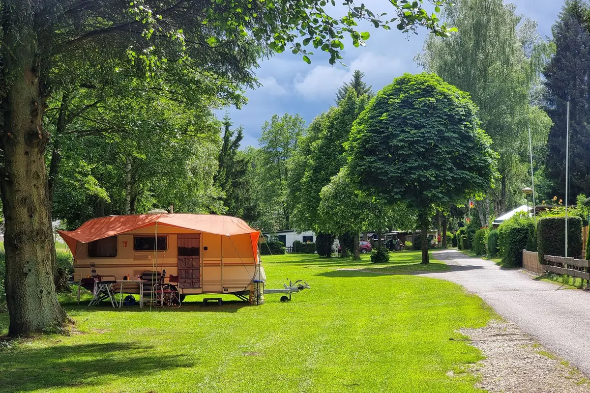
Accommodation & pitches
Tent
Caravan
Is this your campsite? Claim your campsite here.
Location & getting there
See the campsite's exact location on the map.
Attractions nearby
| Bad Camberg | 24.2 km |
| Bad Schwalbach | 23.2 km |
| Lahnstein | 23.4 km |
| Vallendar | 23.7 km |
| Marksburg | 21.0 km |
| Euthanasiecentrum Hadamar | 15.7 km |
Amenities nearby
≤5 kmAmenities within ~5 km, straight-line.
Reviews
18 ratings across 1 source.
Weather & climate
Practical information
Contact & website
Frequently asked questions
FAQWhere is Campingplatz Rupbachtal located?+
Campingplatz Rupbachtal is located in Gutenacker, Rijnland-Palts (Germany). You can see the exact location on the map on this page.
Does Campingplatz Rupbachtal have a swimming pool?+
No, Campingplatz Rupbachtal doesn't have its own pool.
Is Campingplatz Rupbachtal suitable for children?+
No specific children's facilities are listed for Campingplatz Rupbachtal. There's a playground 1.4 km away.
Are dogs allowed at Campingplatz Rupbachtal?+
Dogs are not listed as allowed at Campingplatz Rupbachtal; contact the campsite if unsure.
What facilities does Campingplatz Rupbachtal have?+
Campingplatz Rupbachtal offers hot showers and drinking water, among others. See the full list in the amenities block on this page.