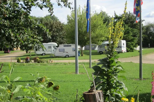
Camping Le Chartel
Camping Le Chartel is a campsite in Meuse, France. You're welcome here with a tent and a caravan.
- Wi-Fi
About Camping Le Chartel
GEOFacilities include Wi-Fi.
✓ Why here
- Wi-Fi
Amenities
- ✓Wi-Fi
Accommodation & pitches
Tent
Caravan
Is this your campsite? Claim your campsite here.
Prices & availability
Is this your campsite? Claim your campsite here.
Location & getting there
See the campsite's exact location on the map.
Attractions nearby
Amenities nearby
≤5 kmAmenities within ~5 km, straight-line.
Reviews
No ratings available yet.
Weather & climate
Practical information
Contact & website
Frequently asked questions
FAQWhere is Camping Le Chartel located?+
Camping Le Chartel is located in Ligny-en-Barrois, Meuse (France). You can see the exact location on the map on this page.
Does Camping Le Chartel have a swimming pool?+
No, Camping Le Chartel doesn't have its own pool.
Is Camping Le Chartel suitable for children?+
No specific children's facilities are listed for Camping Le Chartel. There's a playground 322 m away.
Are dogs allowed at Camping Le Chartel?+
Dogs are not listed as allowed at Camping Le Chartel; contact the campsite if unsure.
What facilities does Camping Le Chartel have?+
Camping Le Chartel offers Wi-Fi, among others. See the full list in the amenities block on this page.