Aire Municipale Lélex
Aire Municipale Lélex is a campsite in Ain, France. The site is suitable for a motorhome.
- Restaurant
About Aire Municipale Lélex
GEOAt Aire Municipale Lélex you'll find a restaurant, among others.
Amenities
- ✓Restaurant
- ✓Toilets
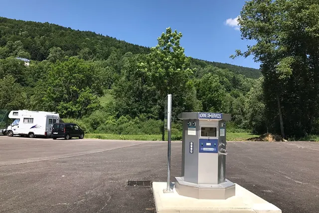
- ✓Motorhome hookup
More amenities
websiteSituée au bord de la Valserine, une rivière classée 'rivière sauvage' de 1ère catégorie (pour les pêcheurs) et à côté des courts ...
Automatically summarised from the campsite website.
Accommodation & pitches
Motorhome pitch
Is this your campsite? Claim your campsite here.
Prices & availability
Is this your campsite? Claim your campsite here.
Location & getting there
See the campsite's exact location on the map.
Attractions nearby
Amenities nearby
≤5 kmAmenities within ~5 km, straight-line.
Reviews
No ratings available yet.
Weather & climate
Contact & website
- 🌐 Website
Frequently asked questions
FAQWhere is Aire Municipale Lélex located?+
Aire Municipale Lélex is located in Ain (France). You can see the exact location on the map on this page.
Does Aire Municipale Lélex have a swimming pool?+
No, Aire Municipale Lélex doesn't have its own pool.
Is Aire Municipale Lélex suitable for children?+
No specific children's facilities are listed for Aire Municipale Lélex. There's a playground 578 m away.
Are dogs allowed at Aire Municipale Lélex?+
Dogs are not listed as allowed at Aire Municipale Lélex; contact the campsite if unsure.
What facilities does Aire Municipale Lélex have?+
Aire Municipale Lélex offers a restaurant and hot showers, among others. See the full list in the amenities block on this page.


