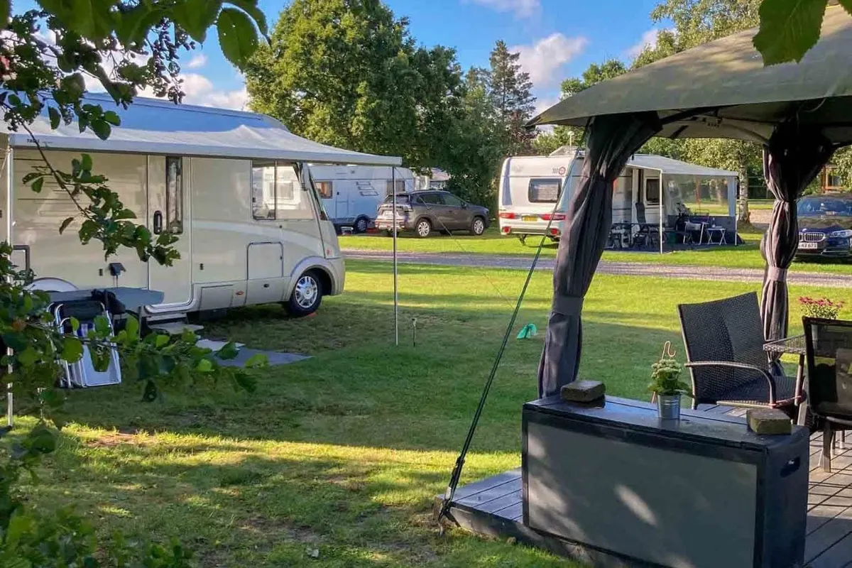
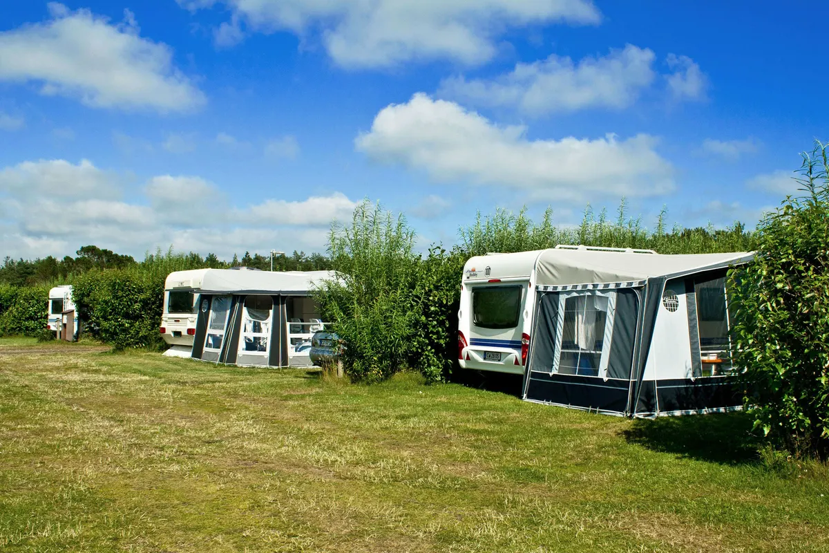
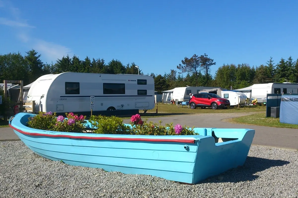
Strandby Lystbådehavn
Strandby Lystbådehavn is located in Noord-Jutland (Denmark). The site is suitable for a motorhome.
- Near the sea
- Near a beach
About Strandby Lystbådehavn
GEOThe site lies 305 m from the sea and 262 m from a beach.
✓ Why here
- Near the sea
- Near a beach
Amenities
No amenities known for this campsite yet.
Accommodation & pitches
Motorhome pitch
Is this your campsite? Claim your campsite here.
Prices & availability
Is this your campsite? Claim your campsite here.
Location & getting there
| Near the sea | 305 m |
| Near a beach | 262 m |
Attractions nearby
Amenities nearby
≤5 kmAmenities within ~5 km, straight-line.
Reviews
No ratings available yet.
Weather & climate
Contact & website
Frequently asked questions
FAQWhere is Strandby Lystbådehavn located?+
Strandby Lystbådehavn is located in Noord-Jutland (Denmark). Nearby you'll find the sea 305 m away and a beach 262 m away. You can see the exact location on the map on this page.
Does Strandby Lystbådehavn have a swimming pool?+
No, Strandby Lystbådehavn doesn't have its own pool, but the sea is 305 m.
Is Strandby Lystbådehavn suitable for children?+
No specific children's facilities are listed for Strandby Lystbådehavn. There's a playground 1.3 km away.
Are dogs allowed at Strandby Lystbådehavn?+
Dogs are not listed as allowed at Strandby Lystbådehavn; contact the campsite if unsure.
What facilities does Strandby Lystbådehavn have?+
Strandby Lystbådehavn offers drinking water, among others. See the full list in the amenities block on this page.